
When you want to head up to Springbrook for a run, but can’t get motivated for the drive up there, what is one to do? You could sleep in, I guess. Or you can head out into the Tallebudgera Valley and run-slash-hike your way up!
Accessed from the end of Tallebudgera Creek Road and terminating way up high at the end of Springbrook Road, the Cream Track is a challenging uphill hike that explores a locally historic route. The track, as the name suggests, was originally a rough horse track used for getting cream from up on the Springbrook Plateau, down to the coastal areas. It was later used as a means for access by cedar-getters (who also have observable history in the adjacent National Park at the old sawmill site at the end of Currumbin Creek Road).
For us in 2021, The Cream Track resides as an increasingly popular hiking/running route, one that has seen considerable effort made by the City of Gold Coast to improve access and usability of the trail. Two thumbs up.
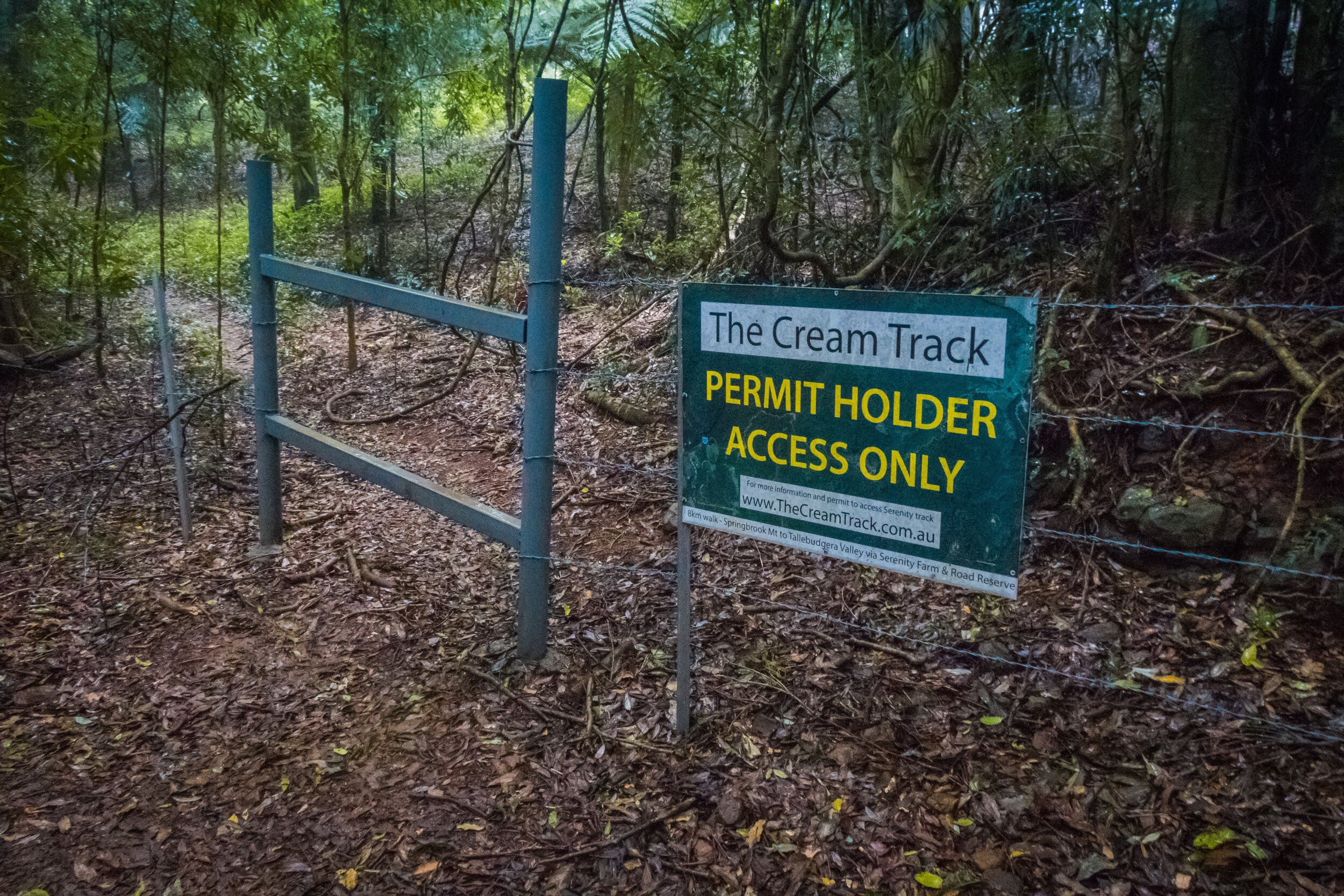
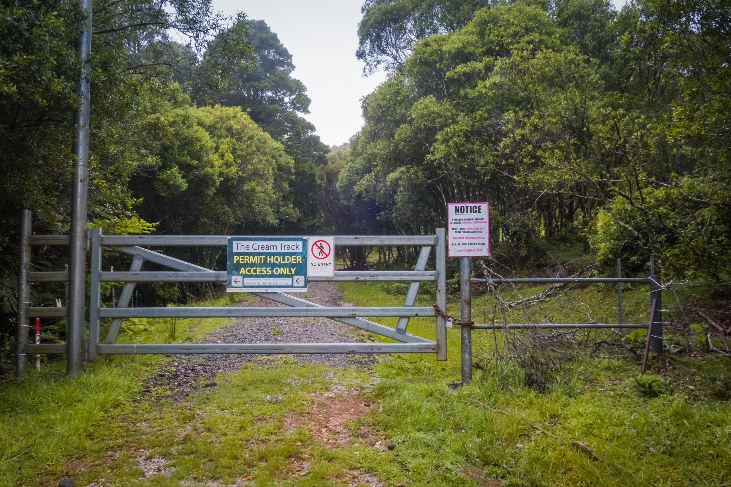
The top of the track passes through private property, and the landowner generously provides access; however users are required to complete a (free) permit application prior to visiting. It’s a quick and simple process - details are HERE.
Accessing the Cream Track is easy enough.
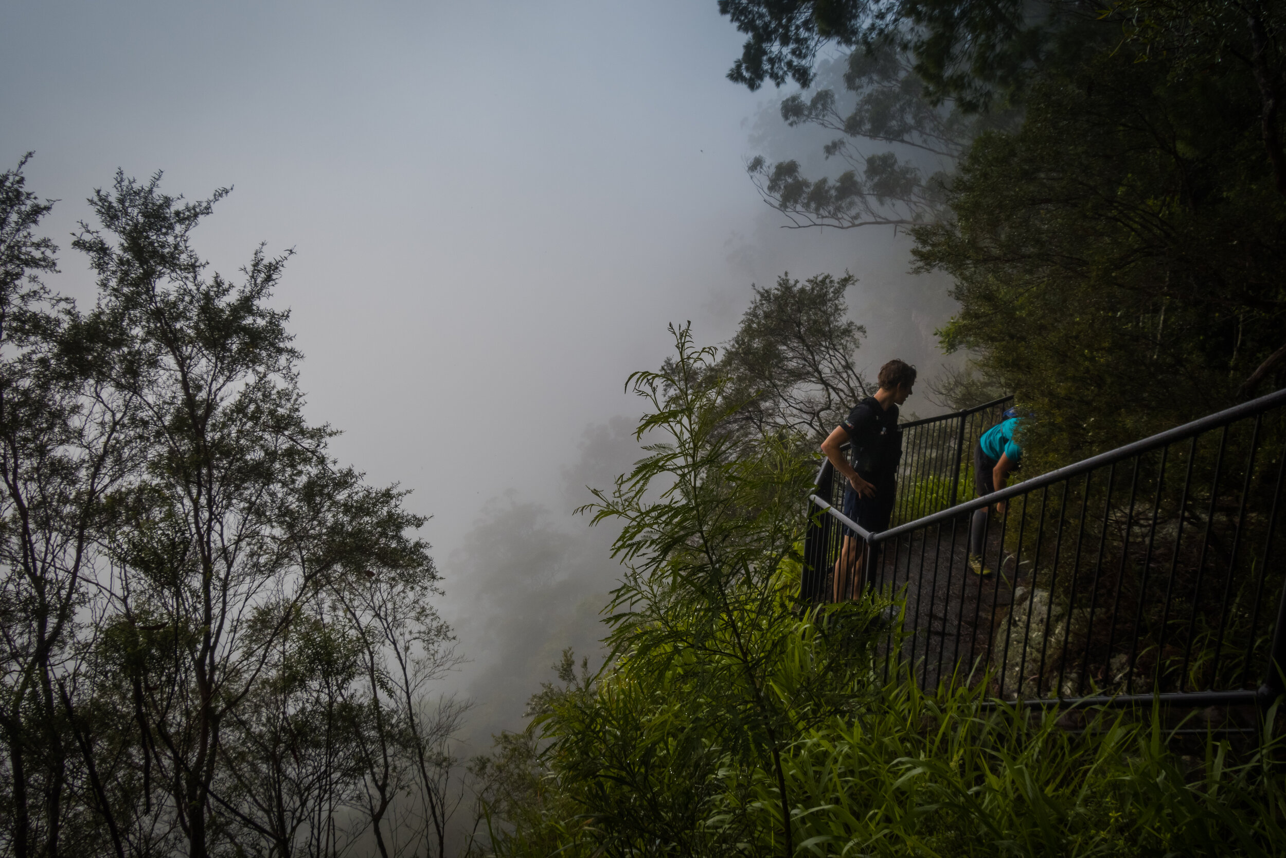
Follow Tallebudgera Creek Road to its very end, where you’ll find a small un-formed parking area (it’s fine for all vehicles, though be aware that there is a causeway before you reach the parking area that will have water over it after heavy rain) where you can leave your car. The trailhead is well signposted these days, and there’s an adjacent pathogen control station where you can - and should - clean your shoes before heading on up.
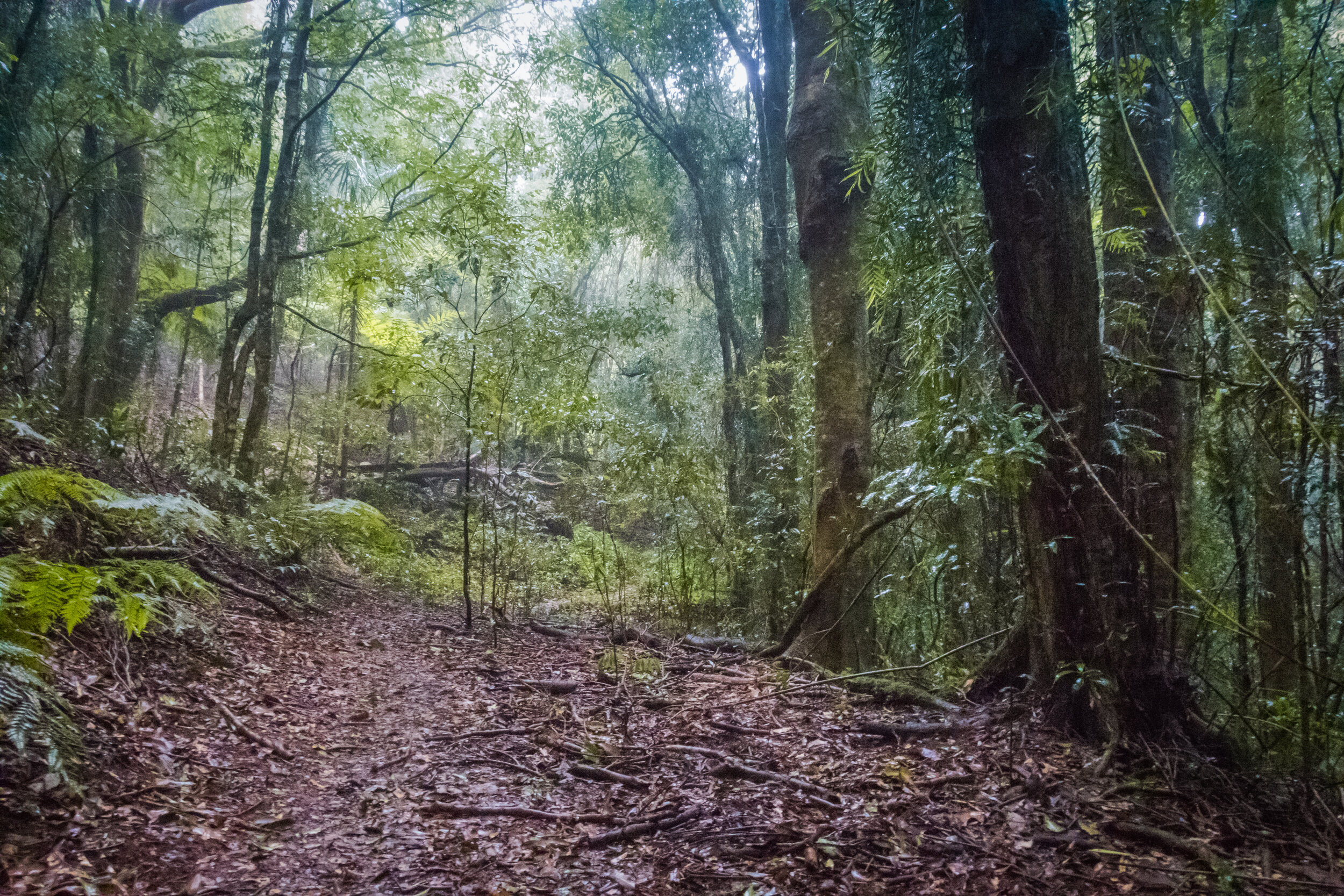
The trail starts with a short (1km-ish) section of gentle uphill on a wide firetrail, which includes a couple of creek crossings just for good measure. From this point the trail kicks up - and up and up - on a mix of steep singletrail and steep-but-not-as-steep firetrail. Navigating is easy enough for the most part - follow the trail markers and pay attention to no entry (private property) signs.

There are two locations where navigating isn’t as obvious as the rest of the trail - both times you will cross small creek tributaries and, while you’d be doing poorly to get lost, they are worth noting here. Just pay attention and, if in doubt, look for the trail across the other side of the creek.
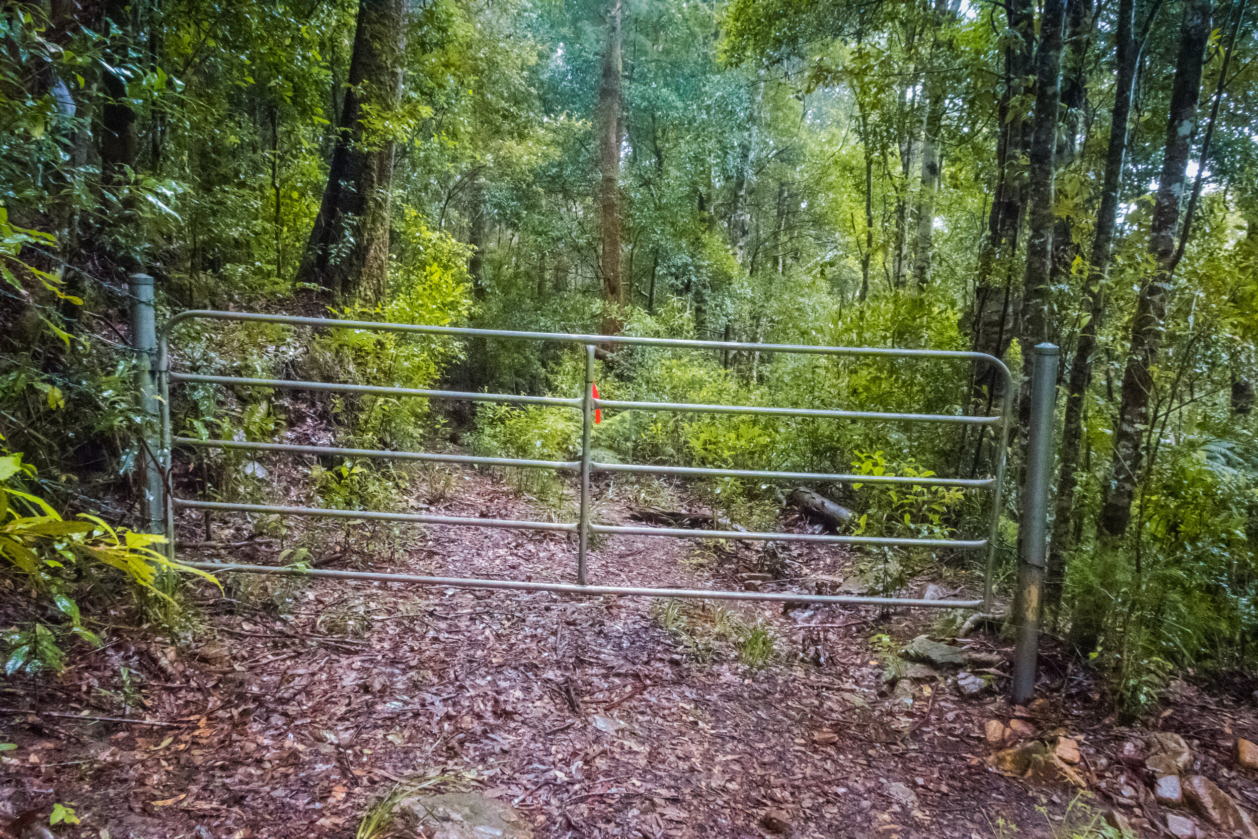
Towards the top of the trail there are a few gates that you will encounter as the trail winds through private property, City of Gold Coast land, as well as National Park. Assuming you’ve completed the permit application (see above), you’re fine to pass through these.
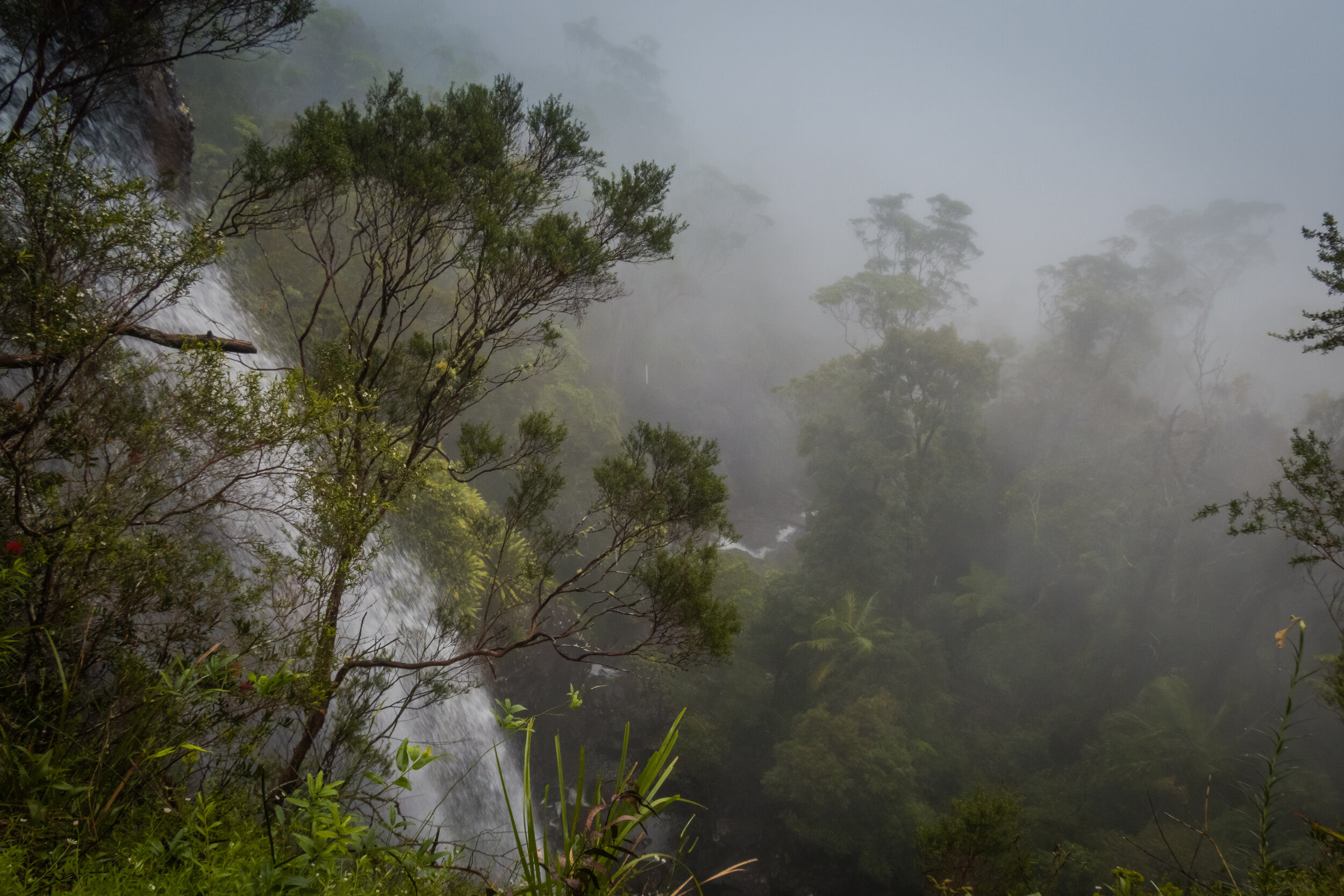
Once you reach the very top, it’s worth following the gravel drive to your right which leads gently downhill to the National Park day use area and some pretty darn spectacular views (provided it’s not clouded out like on our most recent adventure!).

Assuming you haven’t arranged a car shuffle, you then simply retrace your path back down to your starting point. Round trip is between 11 - 11.5km (allowing for GPS variation) and about 800mD +/-.
If you’re looking for a longer run, once you arrive up on the Springbrook Plateau you can head west on the road for a little under 2km and you’ll eventually arrive at the Tallanbana Picnic Area, from where you can add on either (or both!) the Warrie Circuit or Twin Falls Circuit in Springbrook National Park. For the Warrie Circuit add-on, you’ll end up with 26(ish) km and 1300mD +/- of elevation gain (again, GPS is spotty so allow some distance and elevation either side of these numbers).