** Updated 2021 **
Location: Currumbin Waters, QLD Australia
View larger map: Currumbin Border Track
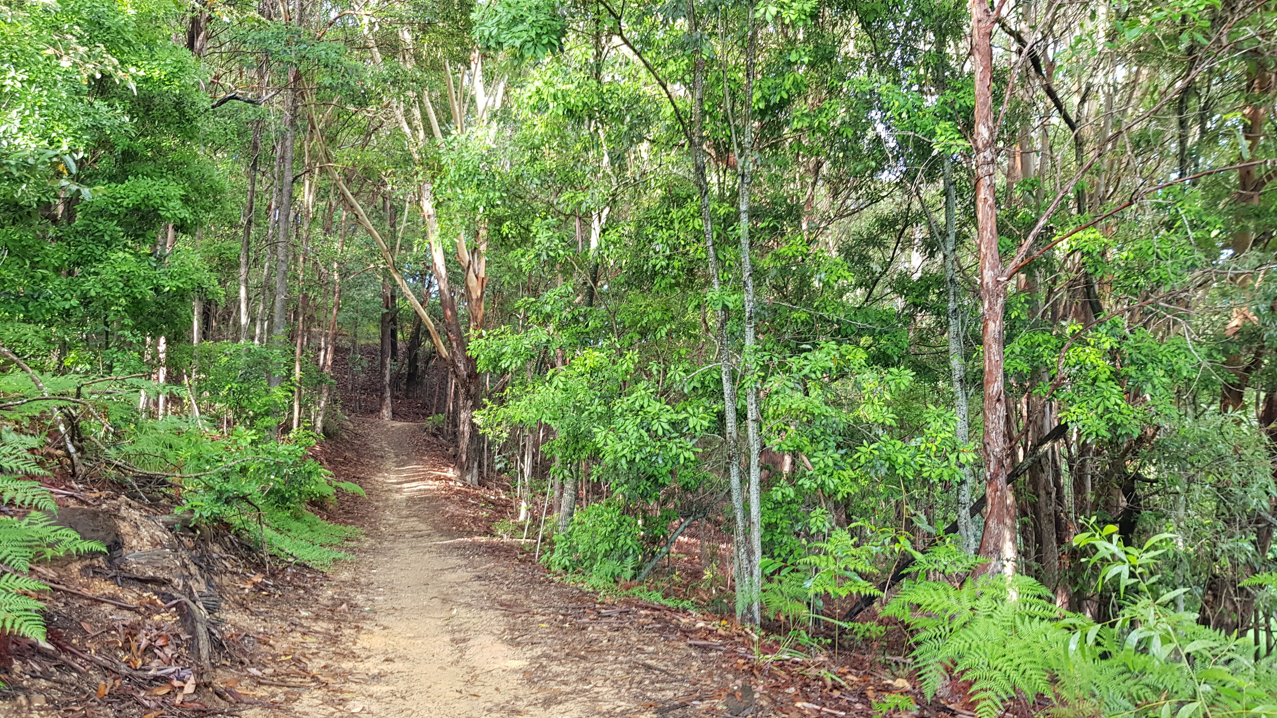
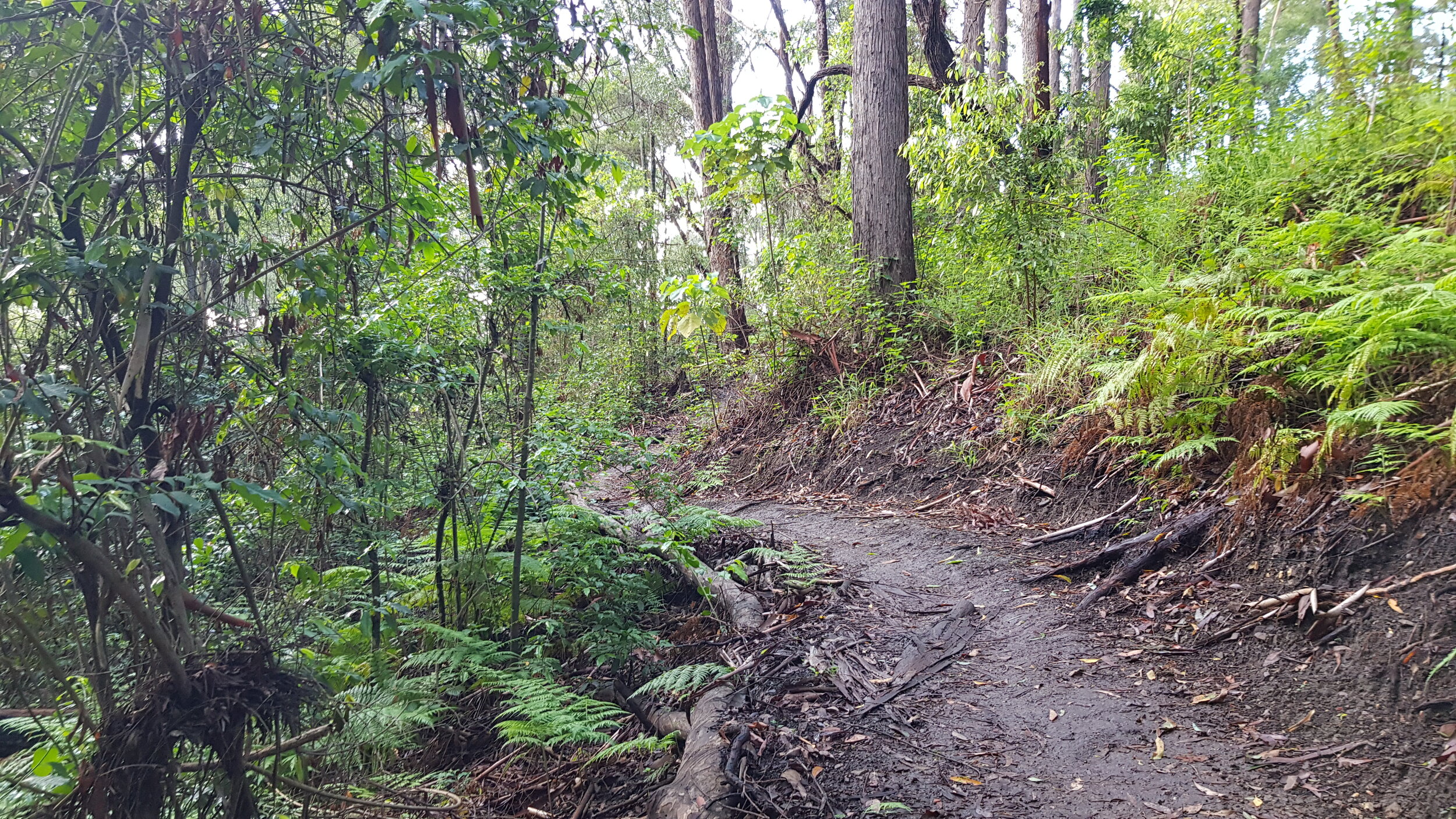
Run or Ride Type: Trail (mostly firetrail; some rocky sections; adjacent and ever-expanding singletrail)
Distance: Anywhere from 0-20+ km return
Total Elevation Gain: Generally 400-500m gain per 10km distance
Example Activity: KML (9.6km, 400mD +/-)
Description:
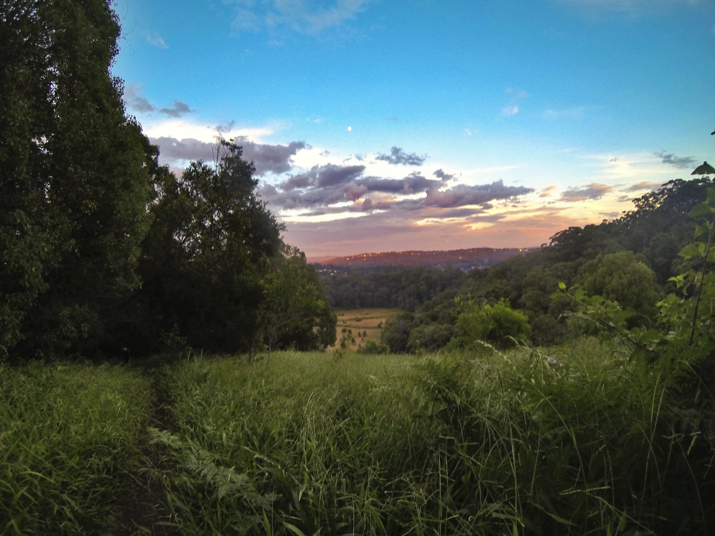
The trails are on land situated between two quarantine fences acting as a buffer zone between the states of Queensland and New South Wales. It’s pretty hard to get lost up here - just stay between the two fences and you can’t really go wrong.
(NB - there are some fences across the trails - with gates - that restrict access to dirt bikes etc; going through these is OK. The fences to stay between are the barbed wire ones running east-west (from the coast out towards the hinterland).
We used to have several routes laid out for this trail, but the firetrail is extremely easy to follow and the singletrack network is expanding and changing all the time; as long as you follow the previous “stay between the fences” rule, you’ll be fine. That said, I’ve included an example activity above, which at least points you to one of the start/finish locations and some of the singletrail.
Most of the singletrack network is between Border Drive North and Piggabeen Road, although there is some less ridden stuff outside of this area. Where the singletrack ends at Piggabeen Road, the firetrail continues heading west all the way up to the Tomewin Border gates, although the last kilometre or two are very overgrown.
Access:
The best access is from Border Drive North or Hoffschildt Drive, although parking in both these areas is increasingly busy (Hoffschildt in particular, although Border Drive North is getting worse as the vacant lots are developed). A good option is to park off Bienvenue Drive near Currumbin Alleygators rugby club, and then access Hoffschildt or Border North on foot or bike.
If accessing the trails from Border Drive North: at the top of the culdesac there is a maintenance gate, and from there an obvious footpad that leads up to a City of Gold Coast signed trail. Follow this trail - a mix between wider double-track and singletrail - until it meets the main border track. From there, most people go right and then within 50m drop into the singletrail on the left-hand side of the trail. You’re now into the fun stuff.
(NB - when you hit the main border track from the access trail, if you instead take a left and cross over the firetrail, you’ll also find singletrail that heads east - although this is rougher, looser and is typically tighter and steeper with much less flow. Going right is the safer bet!)
If accessing from Hoffschildt Drive: there’s an obvious footpad from the culdesac that goes up the embankment to a border gate (with a stile for walking through). From this point, heading south-west (right) is more common and is where the bulk of the singletrail network resides, although going north-east takes you towards Border Drive North - and there’s good singletrail that way too.